


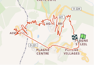


11.1 km | 21 km-effort


User GUIDE


FREE GPS app for hiking
 SityTrail
IGN / Geographical institutes
SityTrail World
The world is yours!
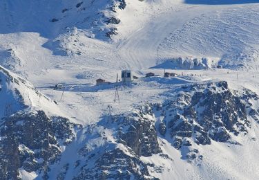
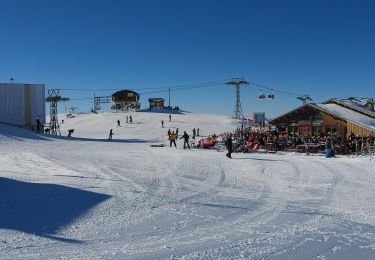
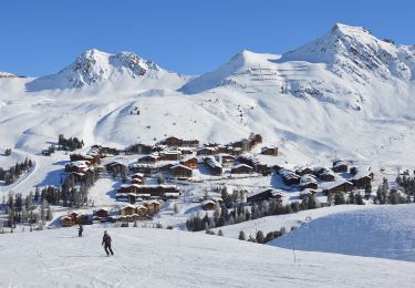
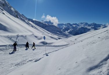
Trail Walking of 8.7 km to be discovered at Auvergne-Rhône-Alpes, Savoy, La Plagne-Tarentaise. This trail is proposed by randotines.
Liaison entre Plagne Soleil et Plagne 2000 par le Télémétro, descendre au bas de la station par les ascenseurs publics, se diriger vers le Club Med et le sentier démarre en-dessous, ensuite descente vers Plagne 1800 par un très beau sentier forestier Eté-Hiver et retour par le chemin forestier vers Plagne soleil. Les chemins sont bien dammés donc raquettes pas vraiment nécessaires.
On foot
On foot
On foot
On foot
On foot
On foot
On foot

Walking
Snowshoes